https://commons.wikimedia.org/wiki/File:South_Africa_in_the_World.svg
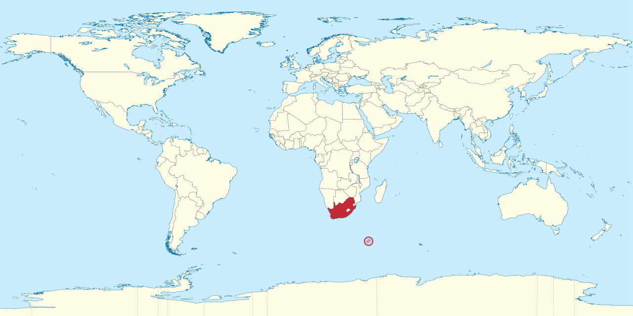
South Africa is located on the southernmost tip of the African continent, known by many as the Cape of Good Hope. Others refer to the tip as Cape L'Agulhas, it is where the Atlantic and the Indian oceans meet. The country itself is comprised of 9 provinces, and South Africa's territory completes encloses the country of Lesotho. South Africa shares a border with Namibia, Botswana, Zimbabwe, Mozambique, and Swaziland.
How familiar are you with African geography?
|
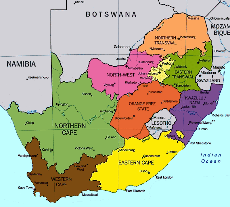
Did you know that South Africa has 9 different provinces? Provinces are similar tot states, but each has its own administrative point of view. Each South African province is very different from the others, the smallest is the tiny crowded Gautneg, a highly urbanized region, and the largest is the vast, arid, and empty, Northern Cape, comprising almost a third of Africa's total land mass.
|
|
|
https://www.sahistory.org.za/article/grade-5-term-4-heritage-trail-through-provinces-south-africa
